
World 🢖 North America 🢖 United States 🢖 Alaska
Tunnels 🢔 Transport infrastructure 🢔 Architectural wonders 🢔 Categories of wonders
Wonder
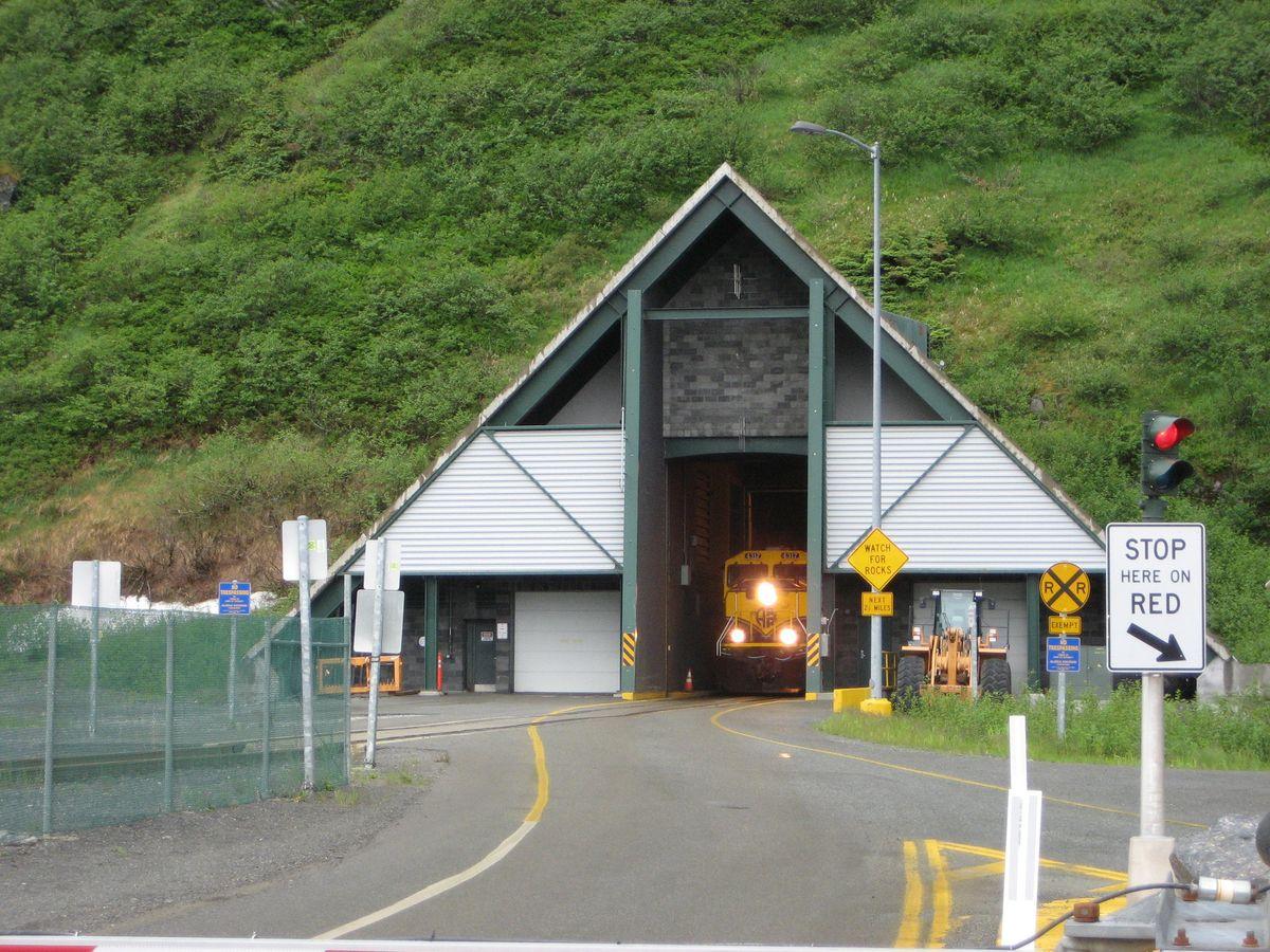
Anton Andersen Memorial Tunnel (Whittier Tunnel)
 In short
Anton Andersen Memorial Tunnel or Whittier Tunnel is 4.1 km long tunnel – the second longest highway tunnel and the longest combined road and rail tunnel in North America. Basically constructed during the World War II, converted to a combined road – rail tunnel in 2000.
 25.3%
25.3%
GPS coordinates
60.77731 N 148.73334 W
Location, address
Transport infrastructure, Tunnels
Map of the site
Travelers' Map is loading...
If you see this after your page is loaded completely, leafletJS files are missing.
If you see this after your page is loaded completely, leafletJS files are missing.