
World 🢖 Australia and Oceania 🢖 Australia 🢖 Northern Territory
Monoliths 🢔 Rock formations 🢔 Geological wonders 🢔 Categories of wonders
Wonder
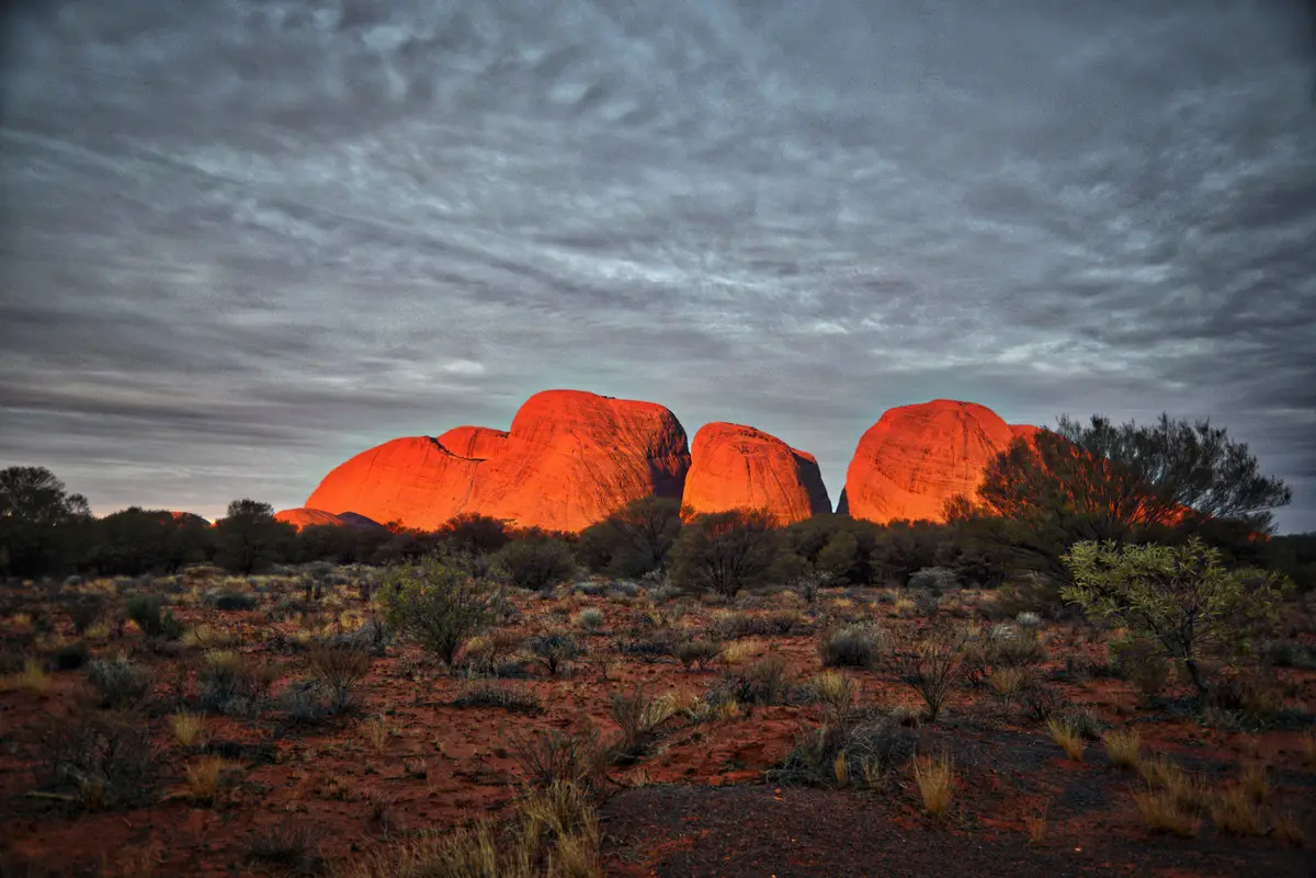
Kata Tjuta (Mount Olga)
 In short
Unusual, impressive monolithic rock formation, consists of 36 steepsided domes up to 546 meters high. Sacred place to local Aborigene people. Endemic plants.
 57.3%
57.3%
GPS coordinates
25.2973 S 130.7382 E
Location, address
Australia and Oceania, Australia, Northern Territory
Rock formations, Monoliths, Other contemporary shrines
Map of the site
Travelers' Map is loading...
If you see this after your page is loaded completely, leafletJS files are missing.
If you see this after your page is loaded completely, leafletJS files are missing.