
Ancient cities and towns 🢔 Settlements 🢔 Architectural wonders 🢔 Categories of wonders
Wonder
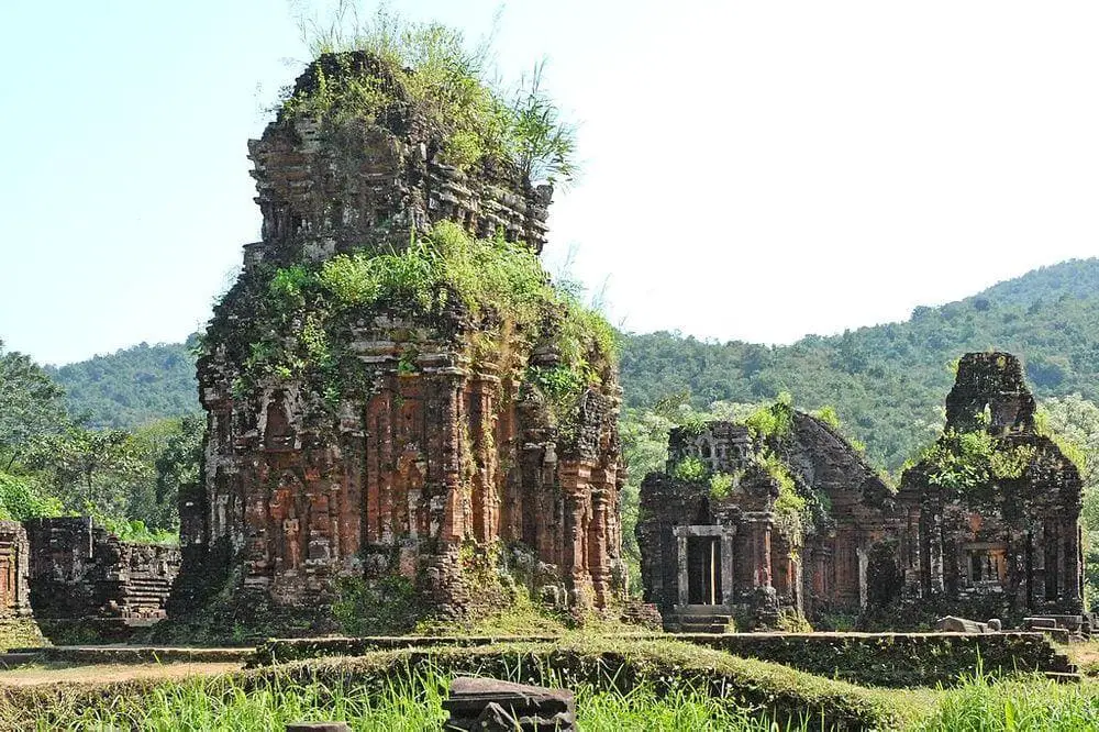
Mỹ Sơn
 In short
Ruins of a group of more than 70 Hindu temples built in the times of the Champa Empire between the 4th and 14th century AD. This site serves as a kind of religious capital of Champa. Most of the heritage was destroyed by US bombing during the Vietnam War. Buildings in this temple city were very ornate and ruins provide rich knowledge about the art and architecture in the Champa Empire.
 52.3%
52.3%
GPS coordinates
15.7661 N 108.1220 E
Location, address
Map of the site
Travelers' Map is loading...
If you see this after your page is loaded completely, leafletJS files are missing.
If you see this after your page is loaded completely, leafletJS files are missing.