
World 🢖 Asia 🢖 India 🢖 Maharashtra
Fortresses and forts 🢔 Fortifications 🢔 Archaeological wonders 🢔 Categories of wonders
Wonder
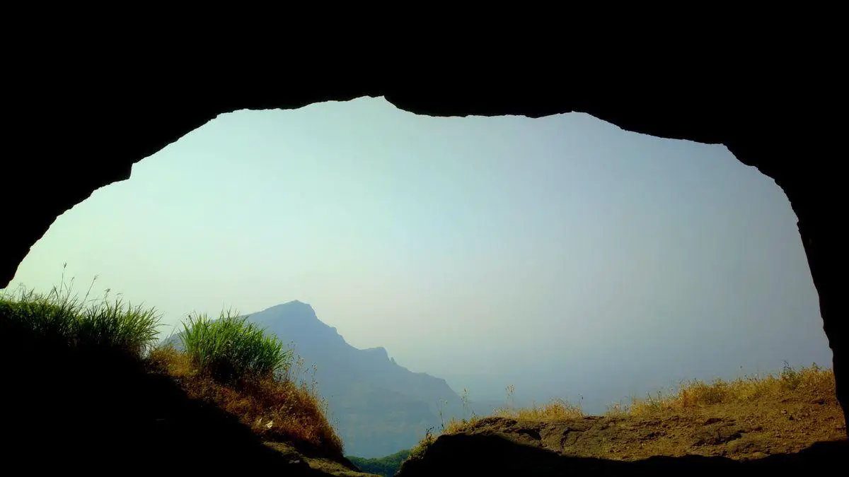
Ratangad
 In short
Cliff with a peak at the summit, with a "needle hole" (Ratangad Nedhe) – natural hole through it. The hole is some 3 m high and 10 m wide.
A very old fortress is built here: its oldest structures could be up to 2,000 years old.
 45.8%
45.8%
GPS coordinates
19.4983 N 73.7038 E
Location, address
Rock formations, Cliffs, Natural arches
Map of the site
Travelers' Map is loading...
If you see this after your page is loaded completely, leafletJS files are missing.
If you see this after your page is loaded completely, leafletJS files are missing.