
World 🢖 North America 🢖 United States 🢖 Oregon
Lakes and streams 🢔 Geological wonders 🢔 Categories of wonders
Wonder
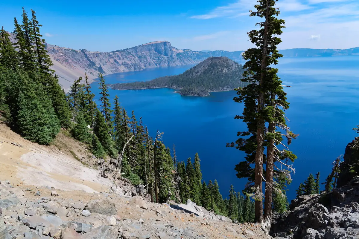
Crater Lake in Oregon
 In short
A round, beautiful lake in the caldera of Mount Mazuma volcano. The caldera is 655 m deep and formed geologically recently: 7,700 years ago when the volcano collapsed. The lake is 594 m deep – the deepest in the United States.
 51.7%
51.7%
GPS coordinates
42.93905 N 122.10702 W
Location, address
Map of the site
Travelers' Map is loading...
If you see this after your page is loaded completely, leafletJS files are missing.
If you see this after your page is loaded completely, leafletJS files are missing.