World 🢖 Africa 🢖 Democratic Republic of the Congo
Places with meteorological phenomena 🢔 Geological wonders 🢔 Categories of wonders
Wonder
Kifuka – place where lightning strikes most often
 In short
The small and otherwise undistinguished Kifuka village in remote part of the Democratic Republic of the Congo became world famous in 2004 – 2005: the data obtained from NASA’s Lightning Imaging Sensor confirmed that nowhere else in the world lightning strikes that often as here.
 39.8%
39.8%
GPS coordinates
Location, address
Map of the site
If you see this after your page is loaded completely, leafletJS files are missing.
 In detail
Thunderstorms of the world
Lightning strikes Earth some 1.4 billion times per year. More than 2,000 thunderstorms are happening simultaneously over the Earth with some 100 flashes every second. Only some 20 – 30% of strikes go from cloud to ground.
Lightning is more frequent over the land because the land surface in the day gets more heated, causing more intense air convection, which in turn leads to lightning.
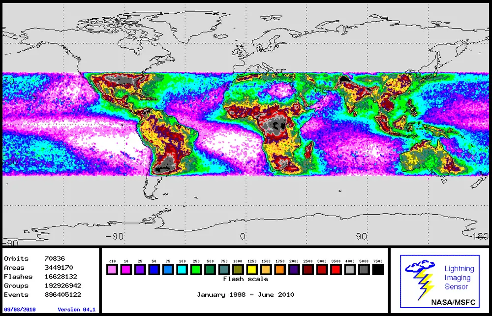
Areas far away from the equator only occasionally experience lightning flashes, while closer to the equator lightning is very common. Most frequent lightning flashes are in the following areas of the globe:
- Central Africa;
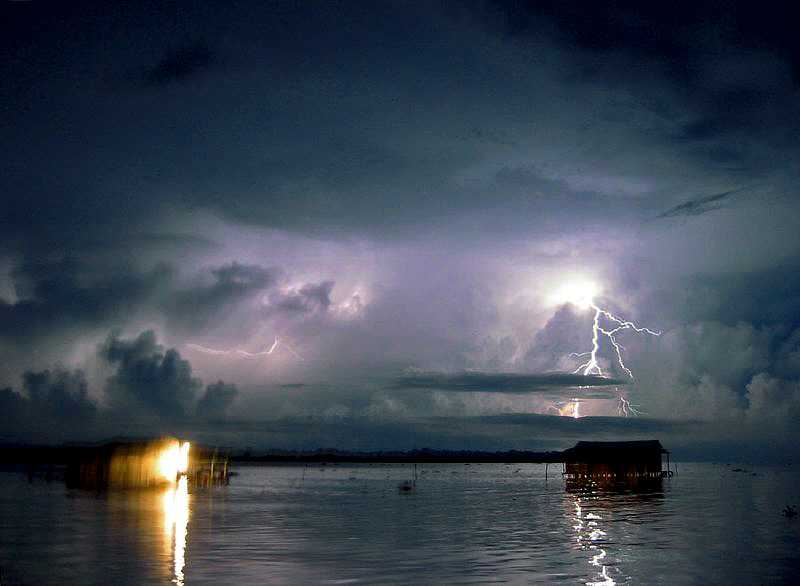
- Northern Colombia and Venezuela. See the description of the phenomenal Catatumbo Lightning;
- Southern Brazil and Paraguay;
- Southern slopes of northern Himalayas.
In each of these locations take place such intense thunderstorms which are unseen in Europe. But out of these locations, Central Africa has the highest intensity of lightning bolts.
Kifuka – world record holder of lightning intensity
Kifuka is located just 300 km south of the equator, in a zone of tropical wet climate. The summer lasts here for a whole year and thunderstorms are frequent throughout the whole year. Masses of humid air have traveled 1,700 km from the Atlantic ocean over the second-largest rainforest of the world and finally, they have reached the very first mountains: hills around Kifuka reach a height up to 1 kilometer above sea level.
As a result, Kifuka experiences violent thunderstorms unprecedented anywhere else in the world: each square kilometer experiences approximately 158 lightning strikes per year – one lightning strike per 6,300 square meters. For comparison in Europe north from Alps density and frequency of lightning is 150 – 300 times lower.
World record of Kifuka was announced six-seven years ago and the research goes on since then. Wondermondo does not possess information whether Kifuka still holds the record.
How are the lightning flashes counted?
Researchers of lightning obtained powerful instruments with the launch of NASA’s Lightning Imaging Sensor (LIS) on a Japanese satellite in November 1997.
LIS detects the distribution and variability of all kinds of lightning in the tropical regions of our planet. The instrument records the time when lightning occurs, measures the radiant, determines location. It manages to detect even most of the day lightning. This information is of high value to climate researchers because it helps to understand the mechanism of global storm convection and dynamics.
Data from LIS, including fairly recent data, is available here.
References
- Quality Controlled LIS Browse Images, Lightning & Atmospheric Electricity Research at the GHCC. Accessed on November 7, 2010.
Kifuka is included in the following article:
 Linked articles
Wonders of Democratic Republic of the Congo
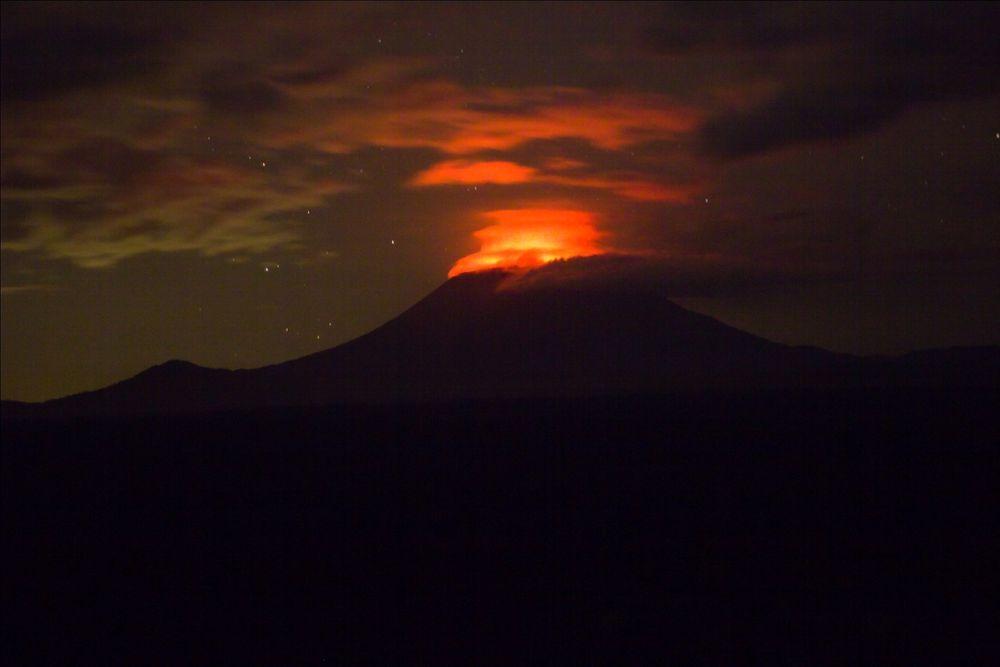
The Democratic Republic of the Congo belongs to the least explored and most promising countries of the world regarding exciting landmarks. The last decades have been unfortunate in the history of this enormous country as it has gone through a series of devastating wars and anarchy periods scaring away foreign explorers. The major part of the country is covered with impenetrable, very diverse equatorial jungle and crossed by large rivers. The jungle covers mountain ranges, the base of volcanoes, and surrounds barren inselbergs and precipices with countless high waterfalls.
10 locations with extreme meteorological conditions
10 unique locations with extreme meteorological conditions in the whole world, such as the windiest place, coldest place…
Meteorological phenomena
Unusual weather conditions can happen in any place in the world. But there are locations where unusual meteorological phenomena are observed frequently – even every day.
 Recommended books
Fundamentals of Lightning
This new book provides a focused set of topics suitable for advanced undergraduate or graduate courses on lightning. It presents the current state of the art in lightning science including areas such as lightning modeling, calculation of lightning electromagnetic fields, electromagnetic methods of lightning location, and lightning damaging effects, and protective techniques.
All About Lightning
Does lightning strike twice in the same place? How does a lightning rod work? What is ball lightning? How many thunderstorms are in progress in the world at any one time? Why does lightning zigzag? What is St. Elmo’s Fire?

