
Wonder
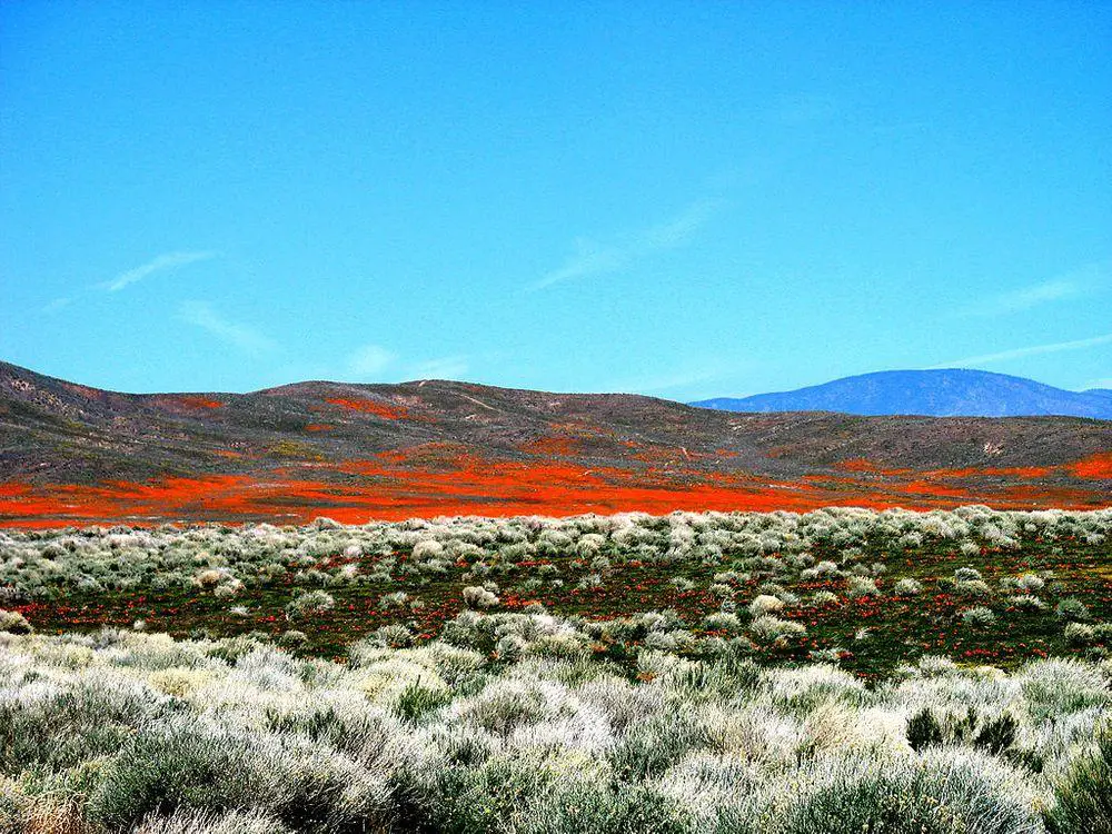
Shell Creek Road meadows, California
 In short
The diverse and beautiful Shell Creek Road meadows can serve as a teaching ground for learning the Californian wildflowers…
 39.8%
39.8%
GPS coordinates
Location, address
Dominating species:
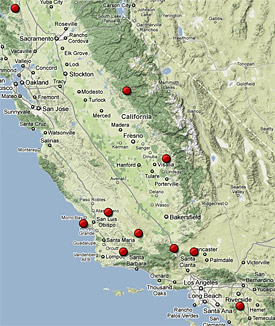
Map of the site
If you see this after your page is loaded completely, leafletJS files are missing.
 In detail
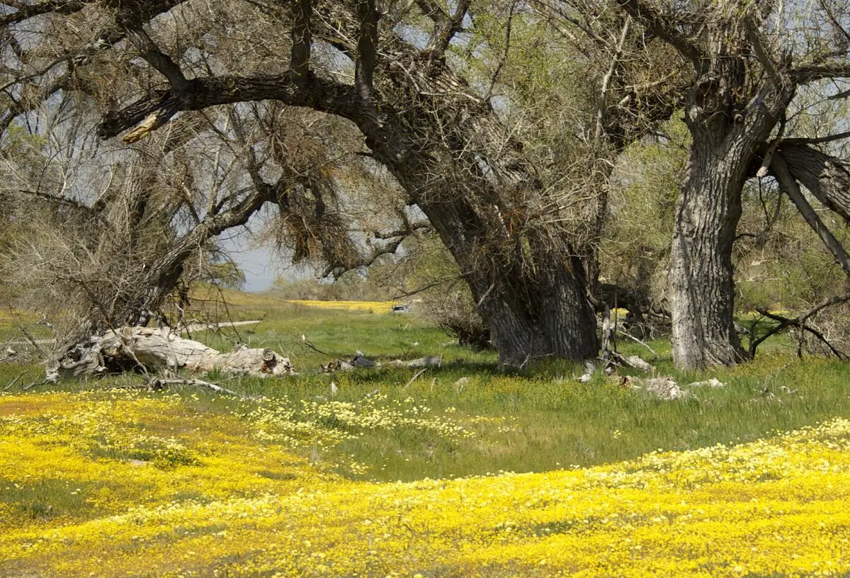
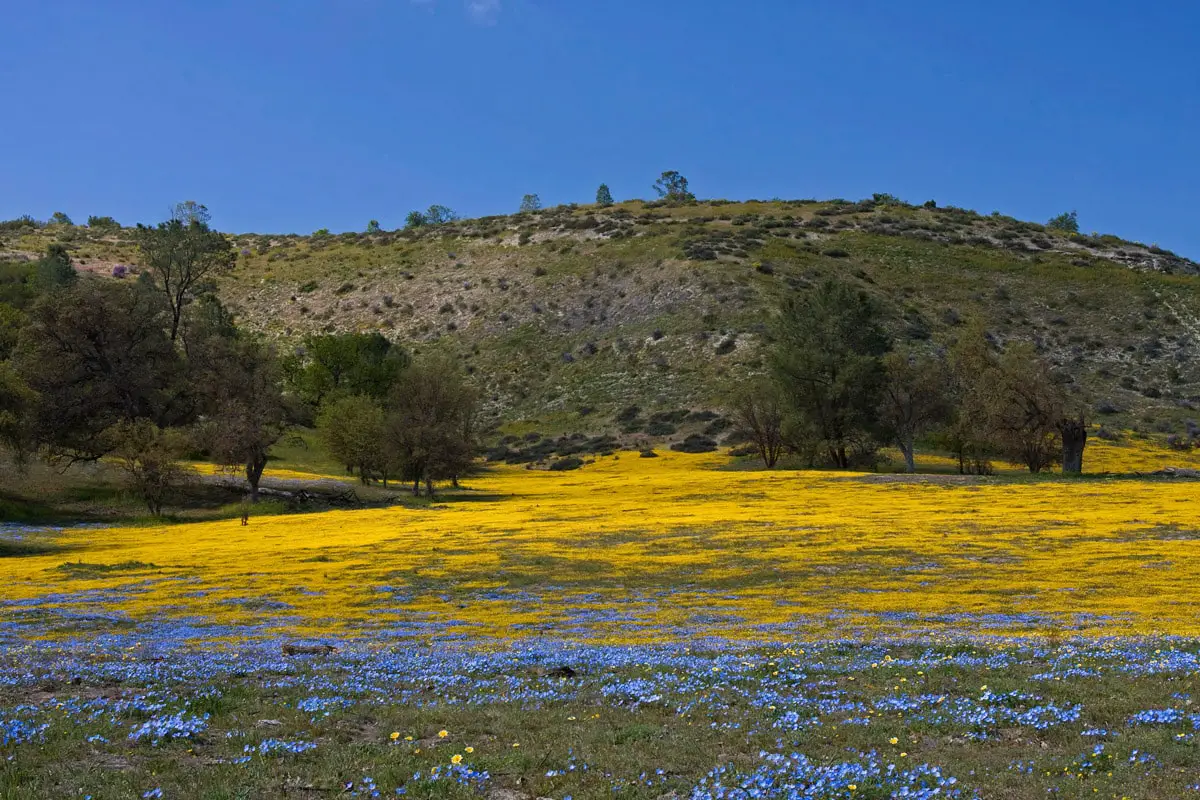
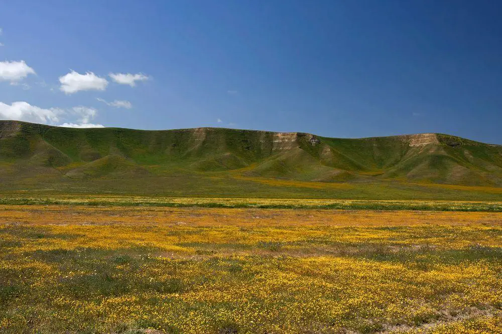
This area is not a part of the barren arid grassland of nearby Carrizo Plain or lush forest of Los Padres National Forest. Undulating hills with occasional groups of trees and gallery forests along Shell Creek form a lively landscape. Further, towards the north, the valley becomes arider and devoid of trees – but still is rich with spring wildflowers.
In spring, in late February – April Shell Creek Road becomes an important destination for wildflower enthusiasts and especially – for photographers. The diverse scenery and the diversity of plants provide plenty of excellent views.
Floral display for the most time is excellent, although there are less impressive years such as 2009. But even in 2009 Shell Creek still was well worth coming.
The river got its name from fossils – ancient shells.
These meadows are included in the following list:
Linked articles
Top 10 locations of California poppy meadows and fields
California poppy meadows belong to the most impressive wildflower displays in the world. Their unusually clear and brilliant color seems to come from another, better reality. This flower has created a passion that is rare elsewhere in the world. Many Californians are obsessed with “wildflower hunting” – search of beautiful meadows, photographing, and just pure enjoyment of beauty.

Wonders of California
Although California is one of the states in the United States of America, Americans often compare it to a separate country, e.g. “if California would be a country, it would have the eighth largest economy in the world”. We can go on with this comparison – California has more landmarks and attractions than many large countries of the world.
Ecosystems
Biotope is a rather small area with uniform environmental conditions and a specific community of life. Wondermondo describes biotopes and ecosystems which have striking looks, look very beautiful, or have other unusual characteristics.
Recommended books
Day Hikes Around San Luis Obispo: 156 Great Hikes

Winner of the Best Guidebook Award from Outdoor Writers Association of California! San Luis Obispo County is located where the white sand beaches of Central California merge with the dramatic Big Sur coastline. Ranging inland from the Pacific Ocean is oak-studded hills, verdant farmland, pristine mountain lakes, and the 5,000-foot Santa Lucia Range of the Los Padres National Forest.
In & Around San Luis Obispo

In and Around San Luis Obispo takes the reader on a quick tour of the Central Coast, providing behind-the-scenes glimpses into this region’s many locations, sights and attractions. Author Barbara Wolcott acts as a tour guide providing historical facts about the area’s many jewels.
[…] 10. Shell Creek Road Meadows […]