
 In short
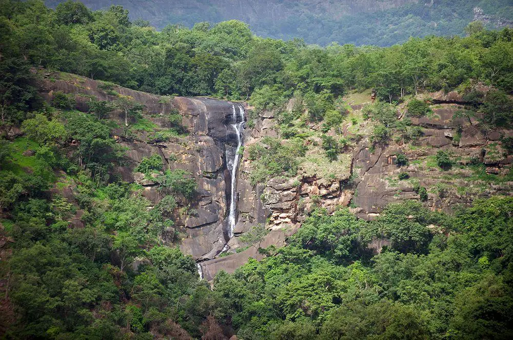
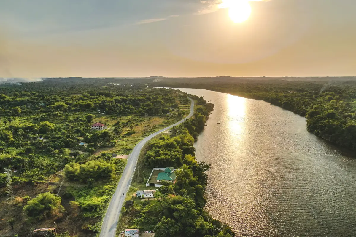
This impressive waterfall has formed in St. John River – a border river between Guinea and Liberia.
 38.3%
38.3%
GPS coordinates
Location, address
Alternate names
Height
Stream
Map of the site
If you see this after your page is loaded completely, leafletJS files are missing.
 In detail
This waterfall is some 25 – 30 m tall. The block of gneiss divides falls into two parts, where the eastern part is much smaller than the western one.
The main – western part of falls – is fan-shaped. The stream of St. John River here is some 20 – 25 m wide but after the falls it is up to 120 m wide.
Above the falls are located several more impressive rapids.
To the south is located locally famous site – Gbedin Rice Station. Here in the 1950s – 1960s was an ongoing experiment for growing swamp rice. The experiment was only partly successful.
Linked articles
Wonders of Guinea
Guinea is a land with breathtaking landscapes and high biological diversity, but it is not too easy to list specific wonders. Here are beautiful tablelands and unusual mouontain chains with many waterfalls.
Wonders of Liberia
Too little is known about the landmarks and attractions in this country – but most likely there are quite many.
Liberia has some of the largest remaining forests in Western Africa, here are located beautiful, forest-covered mountains.
Waterfalls
Some of the most fascinating and awe-inspiring natural monuments are waterfalls or locations where a river abruptly changes its elevation.